Find your way to and on campus
To make it easier to find your way around Medicinareberget and Hälsovetarbacken, we have a map where lecture halls, the two libraries, group rooms, lunchrooms, bicycle racks, public transport stops, parking spaces and restaurants and cafés are marked.
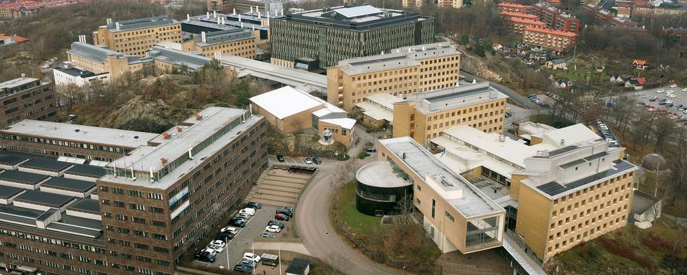
Find your way to campus Medicinareberget
By tram and bus: Several buses and trams go to the stops Sahlgrenska huvudentré, Medicinaregatan and Annedalskyrkan.
For the Centre for Health Sciences, HVC (Guldhedsgatan 5A), the nearest stop is Wavrinskys Plats.
All stops are close to Medicinareberget. Use Västtrafik's travel planner to find the best connection.
By bike: At trafiken.nu there are bike maps and a travel planner for cyclists in Gothenburg. Please, take it easy if you are not used to cycling and wear a helmet!
By car: Use GPS or Google maps for the best route by car. Due to construction and road works near Medicinareberget, the traffic situation changes frequently.
The app Find your way on campus
The app contains information about teaching premises, institutions, schedule and much more. Download it from App Store or Google Play.